Recently I was on a work trip to the West Coast. While there, I had a customer meeting at the headquarters of a large utility company. I was a little surprised when the meeting began to see it open with our hostess saying “For this meeting, I’ll be the safety leader. In case of an earthquake, we’ll all duck under the table, cover, and hold. In case of fire…” She then went on to enumerate what we were all supposed to do in each of a variety of different emergencies: fire, active shooter, medical emergency, and so on. This was accompanied by her updating the small, permanently mounted whiteboard on the wall that listed who was responsible for handling each of these emergencies.
While it seemed really odd at the time, it fit in well with the many other safety posters we saw on the walls of this company’s HQ. They were clearly invested in improving their safety culture. Even though it might have seemed silly to brief what we were going to do in case of an earthquake (I’d already be under the table, crying like a toddler) or whatever, I could easily imagine these briefings taking place in every meeting in that building. Despite the inevitable eye-rolling, I believe that would help normalize safety, and safety planning, as an ordinary part of every activity at the company– which is exactly what they’re trying to do.
This same idea applies to general aviation. There are four times when briefings are a routine and normal part of our activities.
First, there’s getting a weather briefing, whether from a human or through a website or app. There’s a standardized flow and format for these briefings to make sure that all the needed information is communicated efficiently and concisely. FAR 91.103 requires pilots to obtain “all available information” concerning flights and that absolutely, positively includes weather information. Even if it weren’t legally required, as a simple matter of self-preservation, you’d be stupid not to get a thorough briefing and take the time to think through what you’ve been briefed on. The rate of change of the weather may be a surprise, but the fact of its change never should be.
Second, there’s the passenger briefing. The FAA private and commercial pilot practical test standards require the applicant to show how to give a passenger safety briefing. This can be elaborate, or it can be simple. For first-time fliers in my plane, I always thoroughly brief them on a few key points: how to open and latch the doors, how the seatbelts work, where the fire extinguisher is, and when I need them to be quiet. I also encourage them to ask questions about things they see, hear, feel, or smell, and to look outside and tell me if they see anything interesting (especially other airplanes). This is a low-key way to have them acting as extra eyes and ears.
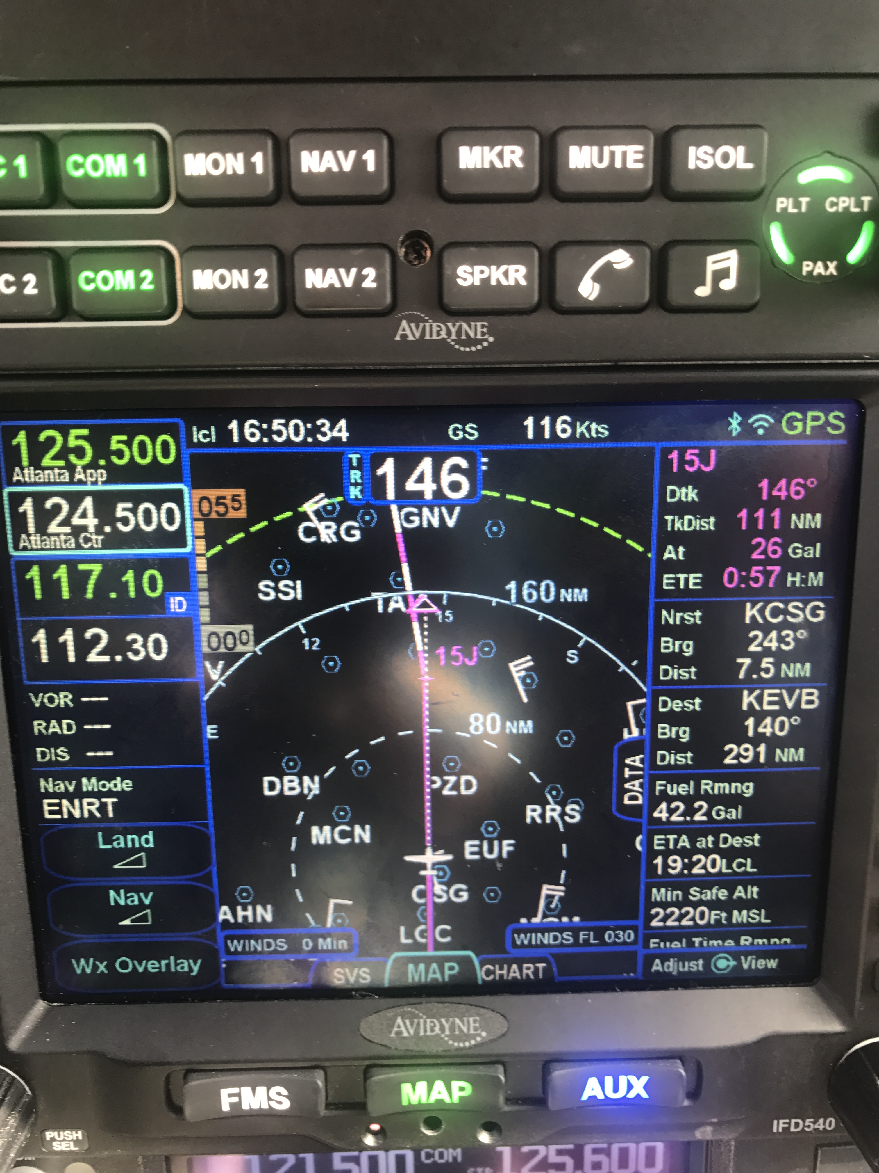
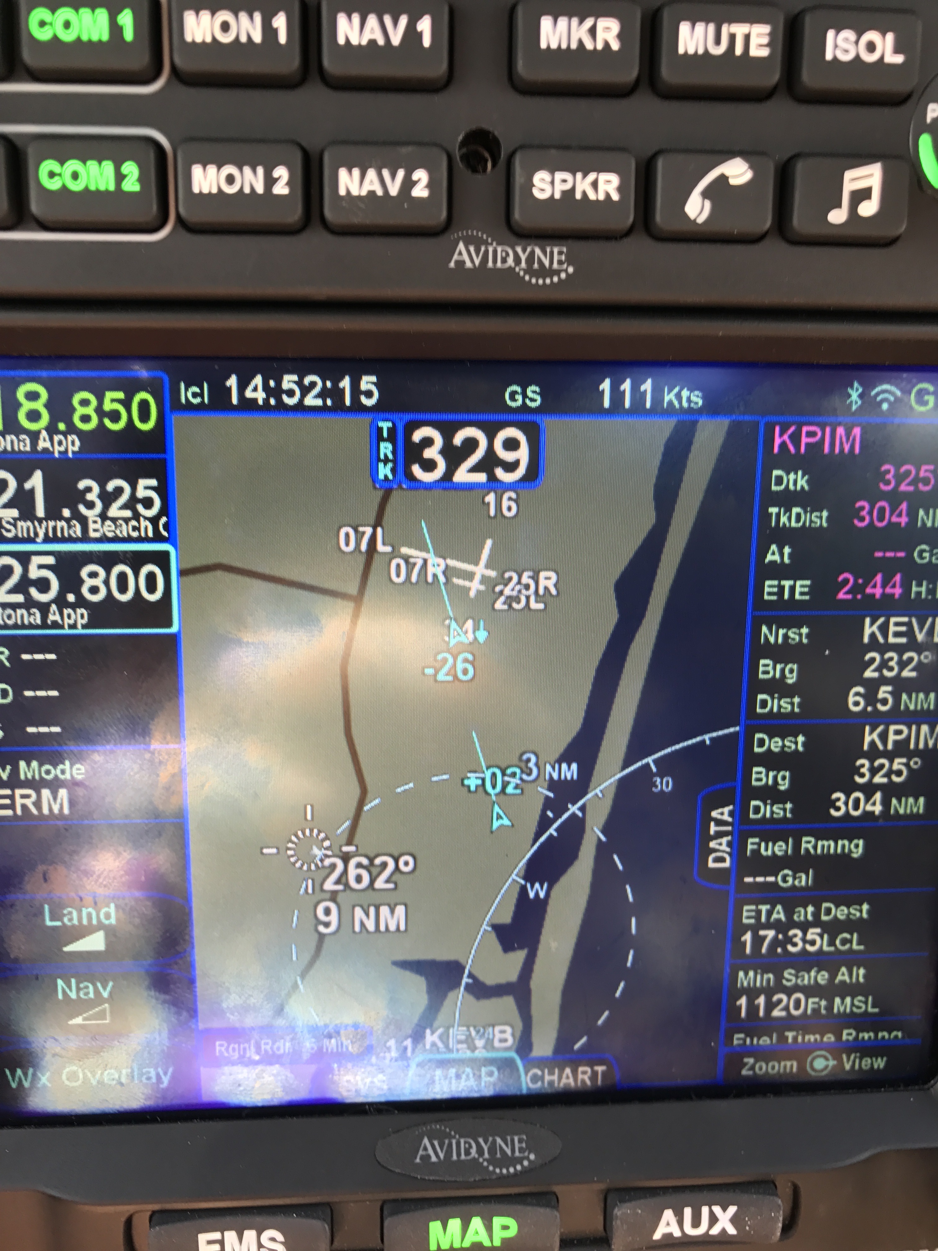
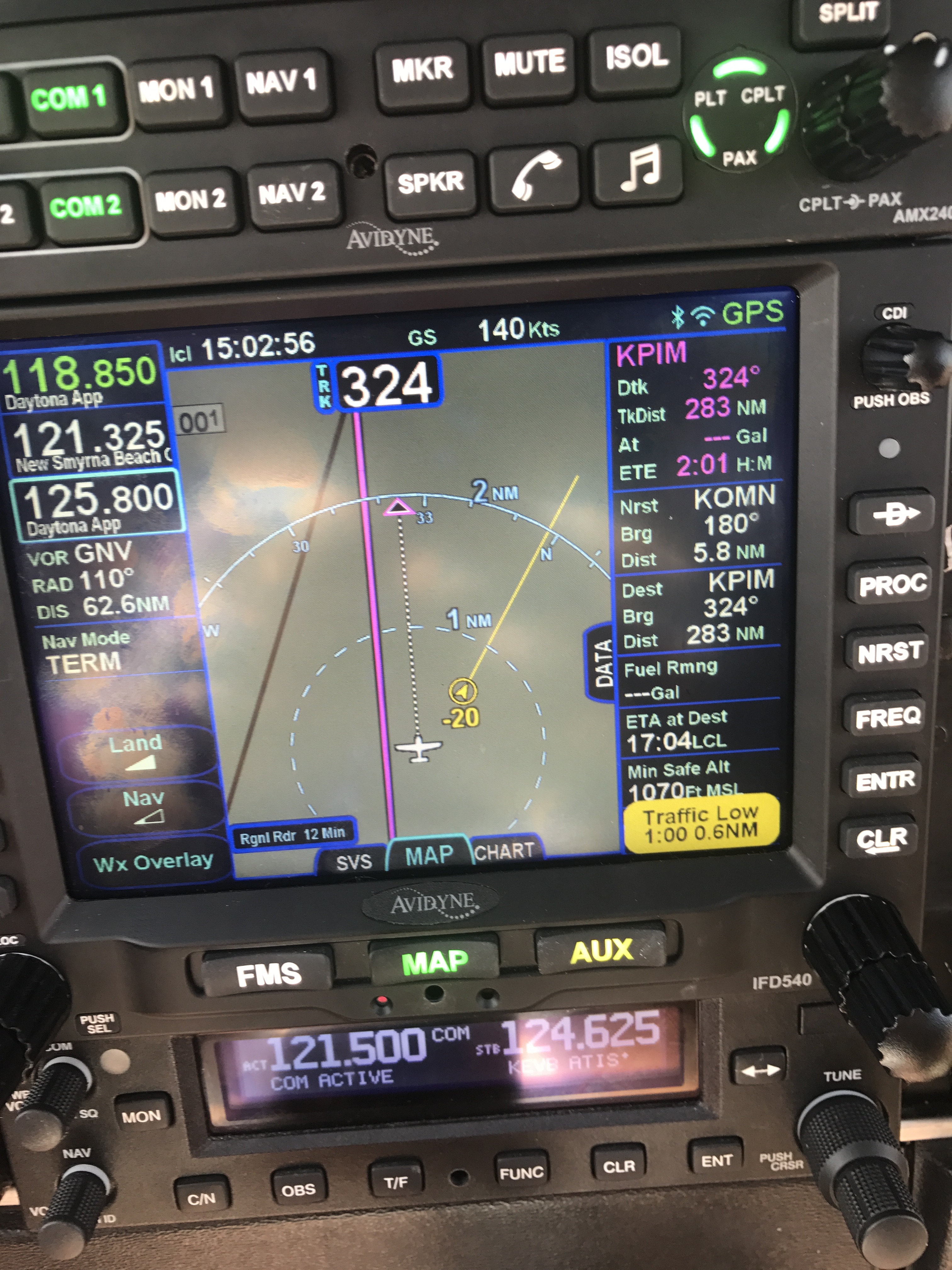
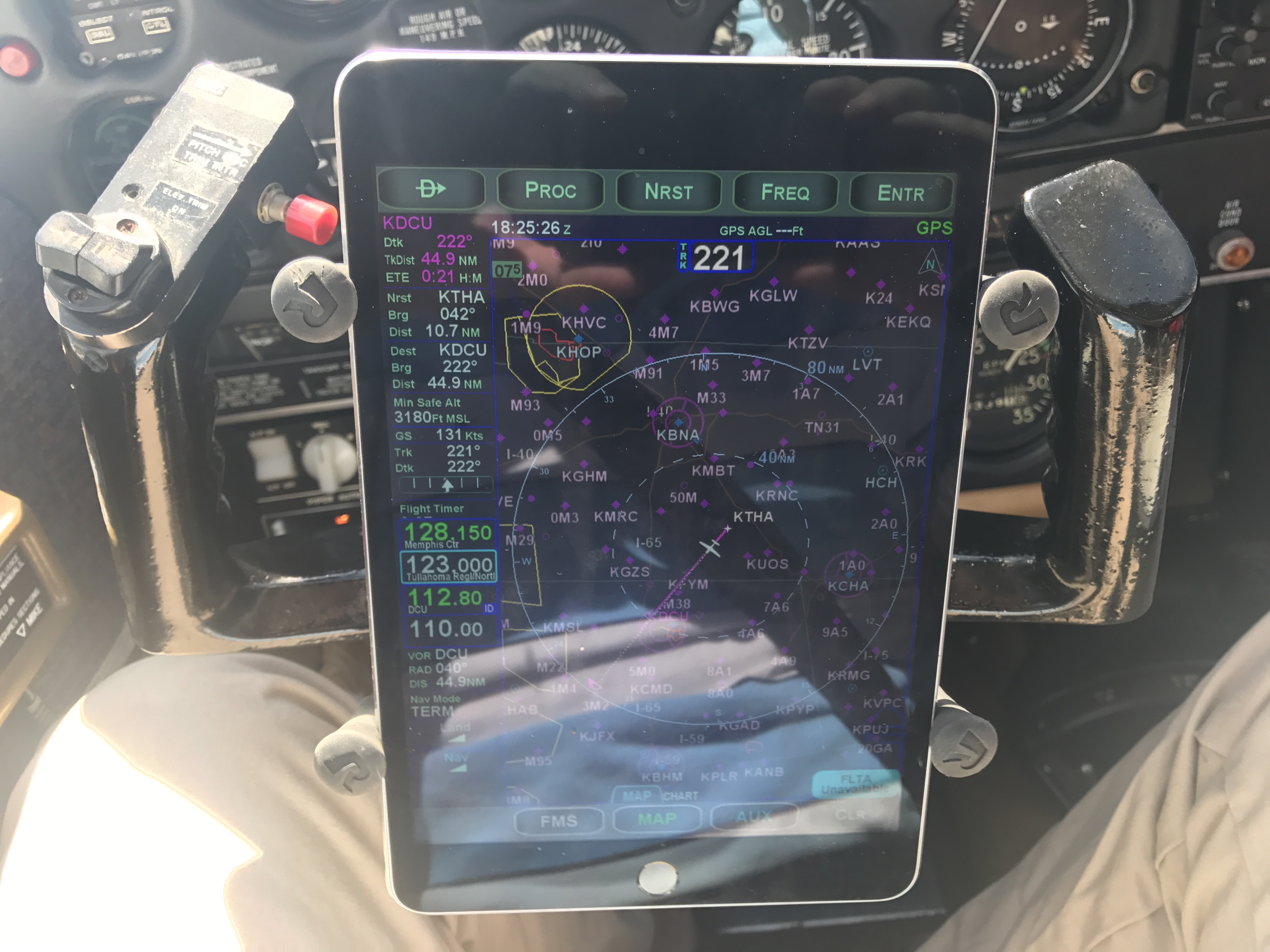
Third, there’s the IFR approach procedure. The advent of fancy GPS systems (and coupled autopilots, may their names be blessed) means that some pilots are tempted to let the box do the work. Complacency is how you get AA 965, which killed 159 people and spawned the semi-famous talk “Children of Magenta.” I always read the approach procedure out loud, whether I’m flying by myself or not. Verbalizing each of the waypoints, crossing altitudes, and course changes is a great way both to prime myself for the approach but also to cross-check what I see on the approach plate with what’s loaded into the GPS. For example, for the RNAV 17 into Montpelier, Vermont (shown below), I’d read it back as “Cross REGGI at 6000, turn 168, cross JIPDO at 5000, cross ZAXOL at 4200, above 2980 cross WANUX”.
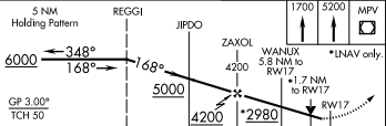
RNAV 17 into KMPV
The little inset in the upper-right corner of the diagram above is the missed approach procedure. It has a separate textual description elsewhere on the approach plate, and I always read it out too. This is what I’d do if I got down to minimums on the approach above and found that I couldn’t see the runway– I’d fly the missed approach (a straight-ahead climb, followed by a climbing turn to the Montpelier VOR and a course hold there).

Going missed? Here’s how
There are other types of briefings that are common in other parts of the aviation world. For example, military preflight briefings include information about tactical stuff that doesn’t apply to me, and airlines often have maintenance handover briefings when a flight crew picks up a jet for their leg. For me, though, the four types above cover everything needed for a safe and efficient flight… except what to do in case of an earthquake, and I’ll try to figure out how to work that in later.